If you are looking at marina-adjacent land in Golfito, the real question is not just where the water is. It is whether a parcel can actually support the vision you have in mind. In a market shaped by port activity, marina infrastructure, tourism, and conservation, the best opportunities tend to be the sites that balance beauty with practicality. This guide will help you evaluate what matters most before you price a parcel, shape a concept, or move deeper into due diligence. Let’s dive in.
Why Golfito Stands Apart
Golfito is a specialized coastal market, not a simple waterfront play. The port in Bahía de Golfito serves exports, fishing vessels, and cruise ships, and the area is also part of Costa Rica’s marina network through Marina Bahía Golfito and Banana Bay Marina.
That mix creates a distinct setting for land buyers. You are not just buying near the water. You are buying into a corridor influenced by boating, tourism, logistics, and a strong environmental backdrop.
The setting around Golfo Dulce also adds to the appeal. The wider region includes forests, beaches, rivers, mangroves, and wildlife, which can strengthen the long-term appeal of hospitality, lifestyle, or mixed-use concepts when the parcel and permitting path align.
Why Marina Proximity Alone Is Not Enough
It is easy to assume that land near a marina automatically carries a premium. In Golfito, that assumption can be misleading. Proximity helps, but it is only one part of the investment story.
Costa Rica’s marina sector is active and established. As of January 2025, ICT reported six operating marinas on the Pacific coast, with 1,013 slips and about 825 vessel arrivals per month. That broader activity supports demand for marine services, hospitality, and related commercial uses, but it also means the market tends to reward functional, buildable, well-positioned sites more than dramatic frontage alone.
For many buyers and developers, the strongest parcel is not the one with the most obvious water edge. It is the one that can be permitted, accessed, built, and operated efficiently.
Start With Legal Status
Before you think about design, views, or future use, confirm the parcel’s legal regime. This is one of the most important first steps in Golfito.
Maritime-Terrestrial Zone Rules
Costa Rica’s maritime-terrestrial zone is a 200-meter strip measured from ordinary high tide. The first 50 meters is public zone, and the next 150 meters is restricted zone where concessions may be granted under the law.
That distinction matters. A bayfront parcel cannot always be acquired and used like ordinary titled private land. If it falls inside the maritime-terrestrial zone, the legal path is concession-based and subject to public access and approval rules.
Unauthorized occupation or construction is prohibited in this area. The public 50-meter zone cannot be blocked, and mangroves and estuaries are treated as part of the public zone.
Marina-Related Oversight
If a concept involves marina or tourist-berth development, the review process becomes more specialized. ICT states that CIMAT is the body authorized to supervise marina and tourist-berth development in Costa Rica, and the municipality may grant the concession contract for up to 35 years where applicable.
For that reason, early legal and planning review is essential. In this market, assumptions can become expensive very quickly.
Evaluate Access Before Anything Else
A beautiful parcel that is hard to access can become a difficult development site. In Golfito, practical circulation matters because the area is influenced by port movement, marina-related traffic, and service logistics.
You will want to assess road frontage, construction entry, emergency access, parking potential, and routing for utilities. These details can shape everything from design flexibility to operating efficiency.
Access is also not something to judge from a map alone. A survey and on-site review are important before you attach value to the parcel or move forward with a concept.
Study Topography, Drainage, and Buildability
Golfito’s climate makes site conditions a major part of the investment equation. SINAC describes the Golfito refuge area as hot, rainy, and very humid, with annual precipitation around 4,500 mm on the outer bay and 5,000 to 5,500 mm on higher slopes.
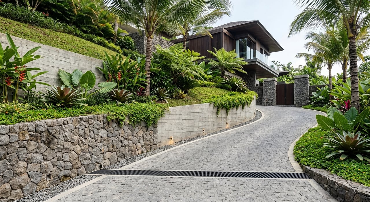
That kind of rainfall changes the way you should look at land. Slope stability, erosion control, retaining requirements, and stormwater handling can all become significant cost drivers.
A parcel that appears attractively priced may prove expensive to develop if it needs extensive cut-and-fill work or complex drainage solutions. In other words, apparent value on paper is not always true value on site.
Questions to Ask About the Land
- Is the terrain relatively workable, or does it require major slope intervention?
- How does runoff move across the parcel during heavy rain?
- Is there enough usable area for staging, parking, wastewater, and utility infrastructure?
- Could retaining walls or drainage works materially affect the development budget?
Look Closely at Surrounding Uses
In Golfito, neighboring land uses can shape both value and feasibility. A parcel near marina support uses may suit one type of project, while land near forest, residences, or light commercial activity may call for something else entirely.
An ICT study of the Banana Bay influence area found a mixed pattern that included forest, secondary or intervened vegetation, and a compact urban core around Las Alamedas, Llano Bonito, and Bellavista. That tells you the bay is not defined by one single land-use story.
Compatibility matters. A site that works well for lodging, marine support, or a mixed-use concept in one location may be less suitable in another, even if both are near the water.
Views Matter, but Verify Them
Golfito has real scenic power. Parcels with elevated sightlines toward Golfo Dulce, marina basins, or rainforest backdrops can offer strong lifestyle and hospitality appeal.
Still, a promising view should be tested, not assumed. Existing vegetation, future tree growth, nearby construction, and topographic shifts can all affect what a site actually delivers over time.
For higher-value land decisions, a proper view analysis can be as important as a title review or topographic study. In premium markets, protected and enduring sightlines often matter more than a casual first impression.
Treat Environmental Review as an Early Step
Because Golfito sits within a sensitive natural context, environmental review should never be treated as a late-stage box to check. It is a core feasibility issue.
SETENA’s current guidance uses D1 for moderate or high-impact projects and D2 for very low-impact projects, with digital filing and possible inspections or requests for added information depending on the case. The correct path depends on the parcel and the concept.
Golfito’s conservation setting raises the stakes. SINAC identifies the Golfito refuge as bordering Golfo Dulce, Piedras Blancas National Park, and the Golfo Dulce Forest Reserve. If a property overlaps, touches, or affects protected or sensitive areas, the permit path can change in a meaningful way.
Verify the Exact Planning Context
One of the most common mistakes in coastal land evaluation is assuming that broad planning language applies evenly across a canton. In Golfito, parcel-level verification is critical.
ICT’s Golfito coastal-zone index dated August 4, 2025 lists 11 approved coastal-sector plans in the canton, including sectors such as Platanares, Zancudo, Sombrero, Banco, several Pavones sectors, Puerto Jiménez, and Cañaza/El Delfín. At the same time, a 2021 ICT study on Banana Bay noted that the broader cantonal plan was older and did not explicitly include marina planning.
That is why you should confirm the exact applicable coastal-sector plan, municipal framework, and any conservation overlays before discussing price with confidence. In Golfito, site-specific planning review is not optional.
A Smart First-Pass Checklist
If you are comparing marina-adjacent land opportunities in Golfito, use a disciplined first screen.
Initial Due Diligence Priorities
- Confirm whether the parcel is titled private land or within the maritime-terrestrial concession regime.
- Overlay the cadastral map with the applicable ICT coastal plan, municipal zoning framework, and relevant protected-area layers.
- Verify access, slope, drainage, construction staging area, parking potential, wastewater planning, and utility routing.
- Identify adjacent uses and likely conflicts, including marina operations, port traffic, forest, mangroves, residences, tourism services, or light commercial activity.
- Map the permit path early, including municipal review, ICT or CIMAT review if relevant, SETENA screening, and SINAC consultation where conservation issues may apply.
What Strong Opportunities Often Have in Common
The most compelling marina-adjacent land opportunities in Golfito usually share a few practical strengths. They tend to have clean legal positioning, workable access, manageable terrain, and a concept that fits the marina-and-eco-tourism setting.
That does not mean every successful parcel looks the same. Some may suit boutique hospitality, others may support marine-related commercial functions, and others may align with a carefully designed mixed-use approach. What matters is the fit between the land, the approvals, and the intended use.
For discerning buyers and developers, this is where experienced local guidance becomes valuable. A refined acquisition strategy in Golfito should bring together legal clarity, environmental awareness, development feasibility, and a realistic operating vision.
If you are evaluating marina-adjacent land in Golfito and want a more strategic view of the opportunity, Jorge Elizondo ( CIRE Costa Rica South Pacific) offers hands-on local advisory for complex coastal acquisitions, development planning, and cross-border transactions.
FAQs
What makes marina-adjacent land in Golfito different from other coastal land?
- Golfito combines port activity, marina infrastructure, tourism, and conservation setting, so land value depends on legal status, access, terrain, and compatibility, not just waterfront location.
Can you buy bayfront land in Golfito like regular private property?
- Not always. If the parcel falls inside Costa Rica’s 200-meter maritime-terrestrial zone, it may be subject to concession rules rather than ordinary titled ownership.
Why is drainage so important for Golfito land?
- Golfito has a very humid climate and high annual rainfall, which can make stormwater handling, erosion control, and slope management major development cost factors.
Does being near Marina Bahía Golfito or Banana Bay Marina guarantee higher value?
- No. Marina proximity can support demand, but access, buildability, legal framework, and permitting path are just as important to a parcel’s true value.
What approvals may matter for a Golfito marina-adjacent land project?
- Depending on the parcel and concept, you may need municipal review, ICT or CIMAT review, SETENA environmental screening, and SINAC consultation where protected or sensitive areas are involved.
Why should you verify the exact sector plan for a Golfito parcel?
- Coastal planning in the canton is sector-specific, so the rules and feasibility for one parcel may differ from another even within the same broader area.